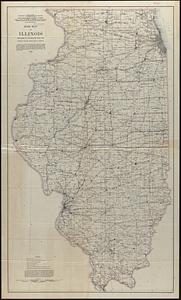
1. Base map of Illinois Creator: Geological Survey (U.S.); Illinois State Geological Survey Format: Maps/Atlases Collection: Norman B. Leventhal Map Center Collection Date: 1924 Institution: Boston Public Library
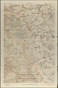
2. Carte générale des objectifs d'artillerie a la date du 24 Août 1918 = General map for artillery objectives up to the of 24th August 1918 Creator: United States. Army. Engineer Reproduction Plant, United States. Army. Army, 2nd, and France. Armée. Groupe de canevas de tir Format: Maps/Atlases Collection: Norman B. Leventhal Map Center Collection Date: 1924 Institution: Boston Public Library
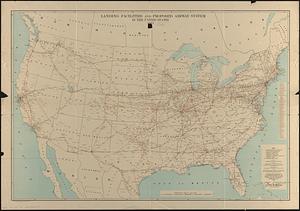
3. Landing facilities and proposed airway system in the United States, 1924 Creator: United States. Army. Engineer Reproduction Plant; United States. Army. Air Service Format: Maps/Atlases Collection: Norman B. Leventhal Map Center Collection Date: 1924 Institution: Boston Public Library
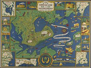
4. A map of Portland Maine and some places thereabout! Creator: Dudley, Katherine, Portland Baby Hygiene & Child Welfare Association, and Tudor Press Format: Maps/Atlases Collection: Boston and New England Maps (Collection of Distinction) / Norman B. Leventhal Map Center Collection Date: 1928 Institution: Boston Public Library