Skip to search
Skip to main content
Skip to first result
Digital Commonwealth
Folders
Sign Up / Log In
Search for
Search
Search
Search
Basic
Advanced
Explore
Map
Collections
Institutions
Formats
For Educators
Primary Source Sets
Lesson Plans
Using Primary Sources
Searching Digital Commonwealth
For Institutions
How to Contribute Collections
Digitization Services
Frequently Asked Questions
Collection Development Policy
About
About Digital Commonwealth
News & Announcements
Copyright & Terms of Use
Harmful Content Statement
Partners
API
Contact Us
Search
Search Constraints
Start Over
Save Search
Your search:
More Like
bpl-dev:rn301202h
✖
Remove constraint More Like: bpl-dev:rn301202h
1
-
4
of
4
Sort
by relevance
relevance
title
date (asc)
date (desc)
recently added
Number of results to display per page
20
per page
per page
10
per page
20
per page
50
per page
100
per page
View results as:
List
list view
Maps
map view
Gallery
grid view
Search Results
1.
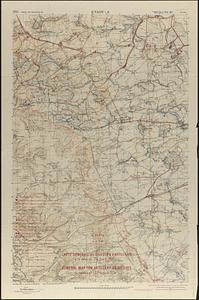
Carte générale des objectifs d'artillerie a la date du 24 Août 1918 = General map for artillery objectives up to the of 24th...
2.
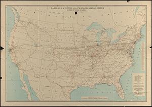
Landing facilities and proposed airway system in the United States, 1924
3.
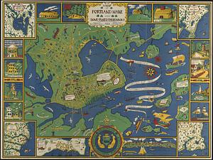
A map of Portland Maine and some places thereabout!
4.
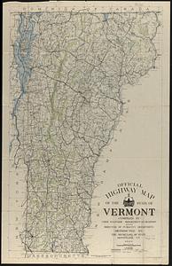
Official highway map of the state of Vermont
Limit your search
Subject
Airports--United States--Maps
1
Airways--United States--Maps
1
Etain (France)--Maps
1
Intrenchments--France--Etain--Maps
1
Portland (Me.)--Maps
1
Roads--Vermont--Maps
1
Vermont--Maps
1
World War, 1914-1918--France--Etain--Maps
1
Place
North and Central America
3
United States
3
Cumberland (county)
1
Europe
1
France
1
Grand Est
1
Maine
1
Portland
1
more
Place
»
Format
Maps/Atlases
4
Available to use
No known restrictions
4
Date
View distribution
Current results range from
1924
to
1928
Date range begin
Date range end
View larger »
Collection
Norman B. Leventhal Map Center Collection
4
Boston and New England Maps (Collection of Distinction)
2
Institution
Boston Public Library
4